

Avetics Global is DJI Authorised Enterprise Dealer in Singapore and has experienced staff who have actual operational experience and can help recommend the most suitable drone for your requirements.
DJI Zenmuse P1


DJI Zenmuse P1
The New Benchmark for Aerial Surveying. The Zenmuse P1 integrates a full-frame sensor with interchangeable fixed-focus lenses on a 3-axis stabilized gimbal. Designed for photogrammetry flight missions, it takes efficiency and accuracy to a whole new level.
Your Go-to Tool for Aerial Photogrammetry
Remarkable Accuracy
Equipped with a global mechanical shutter and the all-new TimeSync 2.0 system, which synchronizes time across modules at the microsecond level, the Zenmuse P1 lets users capture centimeter-accurate data combined with the real-time position and orientation compensation technology.
Extraordinary Efficiency
The Zenmuse P1 includes a full-frame, low-noise high-sensitivity sensor that can take a photo every 0.7 s during the flight, and cover 3 km2 [2] in a single flight.
Robust Versatility
Create 2D, 3D, and detailed models thanks to the integrated 3-axis gimbal that can be outfitted with 24/35/50mm lenses and the Smart Oblique Capture feature.


Efficiency to Cover It All- Fullframe Camera
- 45MP Full-frame Sensor
- 4.4μm Pixel Size
- Low-noise, high sensitivity imaging extends the daily operational time
- Take a photo every 0.7 s during the flight
- TimeSync 2.0 aligns the camera, flight controller, RTK module, and gimbal at the microsecond level
Smart Oblique Capture
Cover 7.5 km2 [4] in a single workday with the Zenmuse P1. Elevate the efficiency of your oblique photography mission using Smart Oblique Capture, where the gimbal automatically rotates to take photos at the different angles needed. Only photos essential to the reconstruction will be taken at the edge of the flight area, increasing the efficiency of post-processing by 20%[5] to 50%[6].
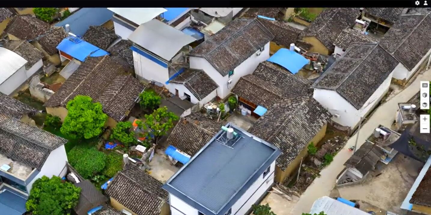
3D Oblique Mission
Effortlessly acquire oblique images from multiple angles that meet 3D modelling requirements across industries such as urban planning and centimeter-level accurate cadastral surveys to serve 3D reality models and smart city planning.