Information Fast and Accurate
Photographs are stitched together to create an accurate digital replica of a real-world structure or location. Here are some of the benefits of using photogrammetry.
With the use of drones, photogrammetry can capture images, analyze the data to get the measurements and convert them to a 3D map efficiently and at the least cost.
The photogrammetric techniques yield results that are highly accurate, making them very reliable to use for mapping or other purposes.
Easy to take photos of remote areas and hard to reach locations with accuracy in dimensions. This lowers the threat to the safety of the crew surveying places that may be dangerous.
Surveying roads with a drone can be done without disrupting the flow of the traffic or endangering the lives of the crew.
Easier to re-survey or re-evaluate the site again to get any of the missing information without the loss of any time.
3D Maps
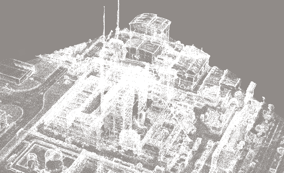
Rapid 3D map generation With photogrammetry computing paired with drone data
3D models hosted on the web allowing for mobile and in-browser viewing, sharing and interaction.
Compact Lidar mounted on our drone for next generation survey.
Higher accuracy point cloud generation.
Faster and more accurate spatial information gathering.
2D Maps
Sharper and 100% cloud cover free
Capable of 5cm per pixel resolution
Conforms to SVY21 standard.
NVDI mapping provides farmers survey of plant chlorophyllic activity.
Pinpoint sectors in a field that require attention, allowing optimizing of crop yield.


