FlightHub
The ultimate solution for managing your drone operations.
Live Operations
Flight Data
Fleets & Pilots
Mission Planning
Live Operation
Enhance project coordination with real-time information from remote drone operations.
Map View
Rapidly assess your drone operations with telemetry data of your remote drone operations on a single map.Live View
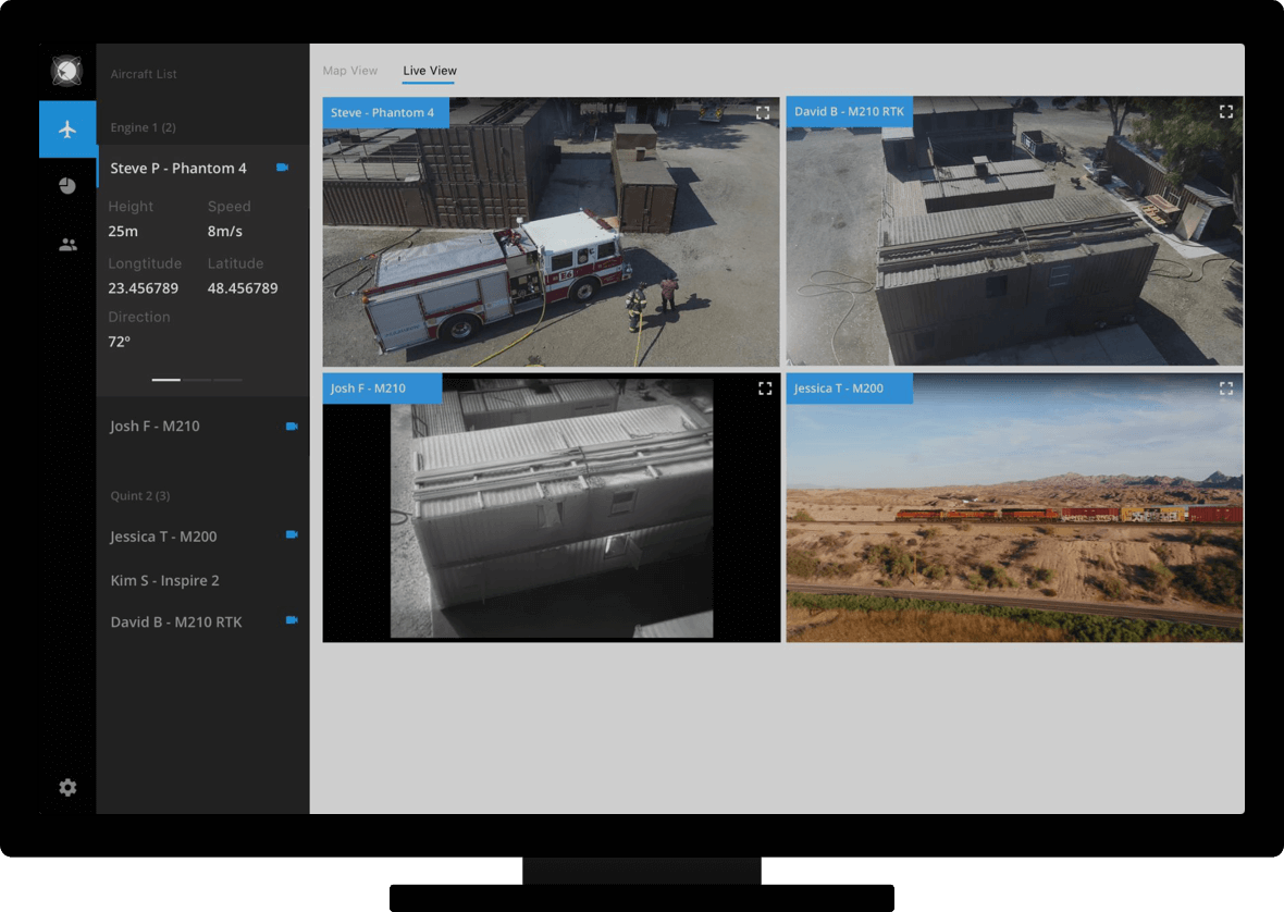
Enhance your workflow by connecting on-site pilots and office teams with a live stream from up to four drones.
Flight Data Management
Improve operations management and ensure regulatory compliance with easy flight log recording.
Flight Logs & Statistics
Ensure compliance, understand equipment usage, view flight statistics, and replay missions with detailed flight logs.Flight Media Library
Save time and improve workflow efficiency with seamless video and image data transmission directly from your DJI Pilot mobile app to FlightHub.
Fleet and Pilot Management
Increase team efficiency and communication by organizing your teams and records around projects.
Device Maintenance
Get an overview of aircraft status and battery health so you can keep track of the performance for each individual drone, ensuring optimum functioning of your fleet across operations.Team Management
Improve communication and operational efficiency by segmenting your teams based on project, region, client, or any other identifier.Firmware Management
Effectively manage firmware so you can ensure smooth operation of your fleet, helping you avoid any delays during critical missions.
Mission Planning
Manage operational tasks within teams more efficiently with easy-to-use mission planning tools.
Waypoint
Effectively plan and store missions on FlightHub with mission planning tools that enable you to set waypoint flight paths, define waypoint actions and more. By integrating DJI Pilot with DJI FlightHub, users can upload or retrieve missions from the DJI Pilot mobile app, and quickly execute missions on site.Mapping
FlightHub automatically generates efficient flight paths after the user has set their required flight zone and flight parameters. The aircraft will then follow this route through its mission. The image data captured during these flights can be input into 2D reconstruction software to generate 2D maps, while the mission itself can be saved for re-use.


